The Foreshore
The Boonerwung Tribe of aborigines have inhabited this coastline for over 30,000 years which is evidenced by several midden sites in the dunes.
The earliest use of Seaford Foreshore by Europeans was for cutting sheokes to fire limestone kilns and wattles for use in tanning. Fishing was quite a large industry and supplied Melbourne fishmarkets.
In 1860 the Foreshore was legislated as Crown Land and permanently reserved in 1873. Keast Park was excised in 1913 as a recreation reserve. By the 60's the reserve was heavily used by day visitors and campers, which had an impact on the vegetation and caused erosion of the dunes. The reserve was eventually fenced and revegetated.
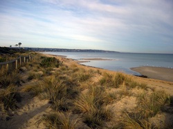
The beach and foredunes are part of a large system of sand ridges which run NE/SW and extend as far as the Seaford Wetlands. The dunes average 4 to 5 metres above sea level, but are highest at Seaford where they are up to 7 metres high. Kananook Creek runs parallel to the Foreshore in the swale between two dunes.
Signs on Foreshore
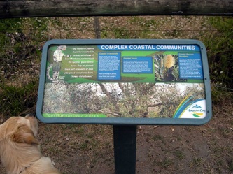
Frankston City Council have installed interpretive signs along the north/south walking track.
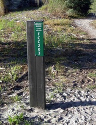
Emergency location signs have been placed on the beach. Each sign has a special number that is GPS registered with the emergency agencies.
Storms
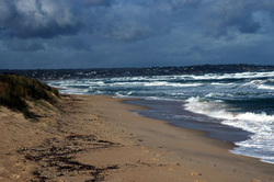
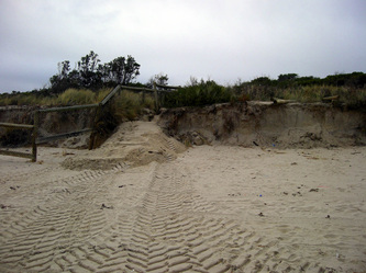
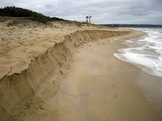
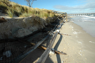
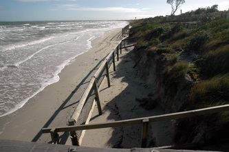
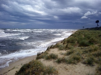
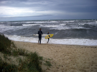
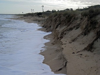
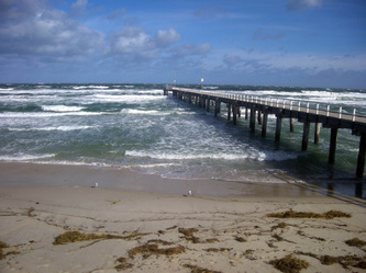
Most people visit the beach during summer, but one of the most exciting times is when the storms come up Port Phillip Bay and onto Seaford Beach. Tons of sand can be moved around in one storm, but this usually returns when the waves calm down.
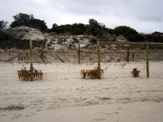
There are several old fencelines along the primary dune... some are buried, others become exposed after storms. Old groins and boatshed foundations can be seen near Mile Bridge if enough sand is washed away.
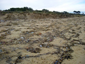
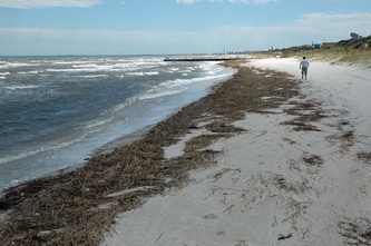
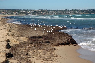
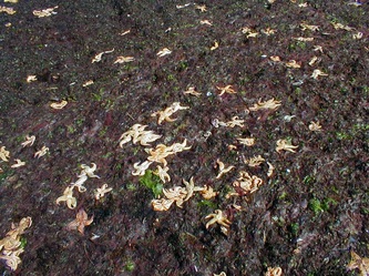
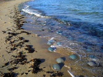
Some storms dump heaps of rubbish on our beach along with all sorts of marine life.
There are several old fencelines along the primary dune... some are buried, others become exposed after storms. Old groins and boatshed foundations can be seen near Mile Bridge if enough sand is washed away.
Some storms dump heaps of rubbish on our beach along with all sorts of marine life.
Seaford Pier
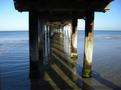
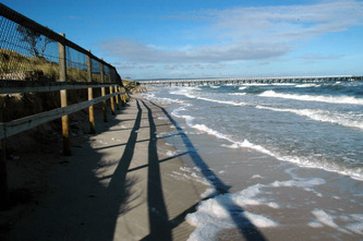
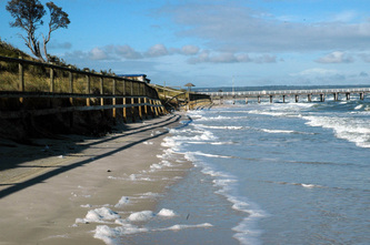
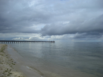
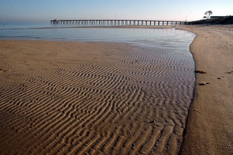
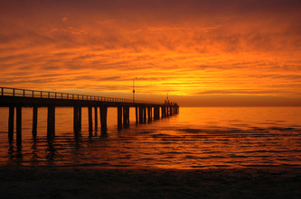
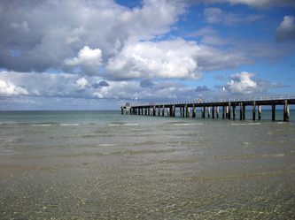
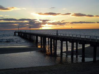
Seaford Pier was originally built about 1931 to carry a 100 cm diameter steel pipe out into Port Phillip Bay. A 100 horsepower electric impeller type pump was used to pump water from the Bay into a weir before being released into Kananook Creek in order to flush it out.
At one stage the pier was destined to be pulled down because of increasing maintenance costs, but locals rallied at a few hours notice to protest on the beach.... the pier is still there!
At one stage the pier was destined to be pulled down because of increasing maintenance costs, but locals rallied at a few hours notice to protest on the beach.... the pier is still there!
